|
Oregon Route 201
Oregon Route 201 is a north–south state highway in eastern Oregon. It currently runs from the Idaho state line just south of Adrian to Interstate 84 south of Huntington. Between the state line and Succor Creek Road, it is known the Homedale Spur No. 490. Between Succor Creek Road and Nyssa, it is known as the Succor Creek Highway No. 450 (see Oregon highways and routes), including the Homedale Spur of the same highway. Between Nyssa and Cairo Junction, it is part of the Central Oregon Highway No. 7 as a concurrency with U.S. Route 20 and U.S. Route 26, and north of Cairo Junction, it is the Olds Ferry-Ontario Highway No. 455. At the Idaho state line, Oregon Route 201 becomes State Highway 19. An unbuilt extension of the Succor Creek Highway is designated southward from the start of the Homedale Spur to US 95. History Oregon Route 201 originally existed only as the Succor Creek Highway. It continued south of Adrian via Jordan Valley to McDermitt, where it continued ... [...More Info...] [...Related Items...] OR: [Wikipedia] [Google] [Baidu] |
Adrian, Oregon
Adrian is a city in Malheur County, Oregon, United States, near the confluence of the Snake River and the Owyhee River. The population was 177 at the 2010 census. It is part of the Ontario, OR– ID Micropolitan Statistical Area. History In 1913, Oregon Short Line Railroad built a branch into this part of Malheur County. There was a post office called Riverview on the east side of the Snake River and because the railroad did not want a station of the same name on the west side, the name Adrian was suggested by Reuben McCreary, who platted the townsite. The name was chosen to honor his birthplace, Adrian, Illinois. Riverview post office was established in 1911, but moved across the river in 1915 and the name changed to Adrian in 1919. It was previously thought that the city was named for James Adrian, a sheep rancher, but he did not arrive in the area until 1916. Adrian is located on the Southern Alternate route of the Oregon Trail, a longer route that eliminated the need ... [...More Info...] [...Related Items...] OR: [Wikipedia] [Google] [Baidu] |
Farewell Bend
Farewell or fare well is a parting phrase. The terms may also refer to: Places * Farewell, Missouri, a community in the United States * Farewell and Chorley, a location in the United Kingdom near Lichfield, site of the former Farewell Priory Films * ''Farewell'' (1930 film) (German: ''Abschied''), a film directed by Robert Siodmak * ''Farewells'' (Polish: ''Pożegnania''), a 1958 film directed by Wojciech Has * ''Farewell'' (1967 film) (''Gobyeol''), a South Korean film starring Shin Young-kyun * ''Farewell'' (1972 film) (''Jagbyeol''), a South Korean film starring Namkoong Won * ''Farewell'' (1983 film) (''Proshchanie''), a film directed by Elem Klimov * ''The Farewell'' (2000 film), a 2000 German film * ''Farewell'' (2009 film) (''L'affaire Farewell''), a 2009 French film * ''The Farewell'' (2019 film), a 2019 American film Music Groups and labels * Farewell (band), an American pop-punk band Classical * ''Farewell Symphony'', Symphony No. 45 by Haydn * Piano So ... [...More Info...] [...Related Items...] OR: [Wikipedia] [Google] [Baidu] |
State Routes In Oregon
State may refer to: Arts, entertainment, and media Literature * ''State Magazine'', a monthly magazine published by the U.S. Department of State * ''The State'' (newspaper), a daily newspaper in Columbia, South Carolina, United States * ''Our State'', a monthly magazine published in North Carolina and formerly called ''The State'' * The State (Larry Niven), a fictional future government in three novels by Larry Niven Music Groups and labels * States Records, an American record label * The State (band), Australian band previously known as the Cutters Albums * ''State'' (album), a 2013 album by Todd Rundgren * ''States'' (album), a 2013 album by the Paper Kites * ''States'', a 1991 album by Klinik * ''The State'' (album), a 1999 album by Nickelback Television * ''The State'' (American TV series), 1993 * ''The State'' (British TV series), 2017 Other * The State (comedy troupe), an American comedy troupe Law and politics * State (polity), a centralized political organizatio ... [...More Info...] [...Related Items...] OR: [Wikipedia] [Google] [Baidu] |
Lewiston, Idaho
Lewiston is a city and the county seat of Nez Perce County, Idaho, United States, in the state's north central region. It is the second-largest city in the northern Idaho region, behind Coeur d'Alene, and ninth-largest in the state. Lewiston is the principal city of the Lewiston, ID-WA Metropolitan Statistical Area, which includes all of Nez Perce County and Asotin County, Washington. As of the 2020 census, the population of Lewiston was 34,203 up from 31,894 in 2010. Lewiston is located at the confluence of the Snake River and Clearwater River, upstream and southeast of the Lower Granite Dam. dams (and their locks) on the Snake and Columbia River, Lewiston is reachable by some ocean-going vessels. of Lewiston (Idaho's only seaport) has the distinction of being the farthest inland port east of the West Coast. The Lewiston-Nez Perce County Airport serves the city by air. Lewiston was founded in 1861 in the wake of a gold rush which began the previous year near Pierce, nort ... [...More Info...] [...Related Items...] OR: [Wikipedia] [Google] [Baidu] |
Weiser, Idaho
Weiser ( ) is a city in the rural western part of the U.S. state of Idaho and the county seat of Washington County. With its mild climate, the city supports farm, orchard, and livestock endeavors in the vicinity. The city sits at the confluence of the Weiser River with the great Snake River, which marks the border with Oregon. The population was 5,507 at the 2010 census. History The city was named after the nearby Weiser River, but exactly who that was named for is not precisely known. In one version it is for Peter M. Weiser, a soldier and member of the Lewis and Clark Expedition of 1804–1806. Another has it for Jacob Weiser, a trapper-turned-miner who struck it rich in Baboon Gulch in the Florence Basin of Idaho in 1861. William Logan and his wife Nancy were the first white settlers in the vicinity of Weiser in 1863 building a roadhouse in anticipation of the opening of Olds Ferry west of them on the Snake River across from Farewell Bend. In 1863, Reuben Olds acquired ... [...More Info...] [...Related Items...] OR: [Wikipedia] [Google] [Baidu] |
Payette, Idaho
Payette is a city in and the county seat of Payette County, Idaho, Payette County, Idaho, United States. The population was 7,433 at the United States Census, 2010, 2010 census.quickfacts.census.gov - Payette, Idaho, 2010, accessed 2011-12-10 It is part of the Ontario, Oregon, Ontario, Oregon, OR−ID Ontario micropolitan area, Micropolitan Statistical Area. History The settlement was originally named "Boomerang," a construction camp for the Oregon Short Line from 1882 to 1884 at the mouth of the Payette River. Logs were floated down the river to the sawmills at the camp to produce railroad ties. After completion of the railroad, the settlement moved upstream to its present site and incorporated in 1891 as "Payette," to honor François Payette, a French-Canadian Fur trade, fur trapper and one of ...[...More Info...] [...Related Items...] OR: [Wikipedia] [Google] [Baidu] |
Ontario City Center, Oregon
Ontario is the largest city in Malheur County, Oregon, United States. It lies along the Snake River at the Idaho border. The population was 11,366 at the 2010 census. The city is the largest community in the region of far eastern Oregon, also known as the Western Treasure Valley. Ontario is the principal city of the Ontario, OR-ID Micropolitan Statistical Area, which includes Malheur County in Oregon and Payette County in Idaho. Ontario is approximately halfway between Portland and Salt Lake City. It is the closest city to the Idaho border along Interstate 84. The city's slogan is "Where Oregon Begins". History Ontario was founded on 11 June 1883, by developers William Morfitt, Mary Richardson, Daniel Smith, and James Virtue. In March 1884, Richard Welch started a post office for the quarter of Ontario, so named by James Virtue after Ontario, Canada. Two months later Joseph Morton applied for a Morton post office at an island about one mile south of town, with O ... [...More Info...] [...Related Items...] OR: [Wikipedia] [Google] [Baidu] |
Ontario Municipal Airport
Ontario Municipal Airport is three miles west of Ontario, in Malheur County, Oregon. The National Plan of Integrated Airport Systems for 2011–2015 categorized it as a ''general aviation'' facility. The first airline flights were Empire Airlines Boeing 247Ds in late 1946; successors West Coast, Air West and Hughes Airwest served Ontario until 1973. Facilities The airport covers 480 acres (194 ha) at an elevation of 2,193 feet (668 m). Its one runway, 14/32, is 5,011 by 100 feet (1,527 x 30 m) asphalt. In the year ending July 13, 2010 the airport had 12,930 general aviation aircraft operations, average 35 per day. 69 aircraft were then based at the airport: 90% single-engine, 3% multi-engine, 4% jet, and 3% helicopter. References External links Airport pageat City of Ontario website Aerial image as of May 1994from USGS ''The National Map ''The National Map'' is a collaborative effort of the United States Geological Survey (USGS) and other federal, state, an ... [...More Info...] [...Related Items...] OR: [Wikipedia] [Google] [Baidu] |
Boise, Idaho
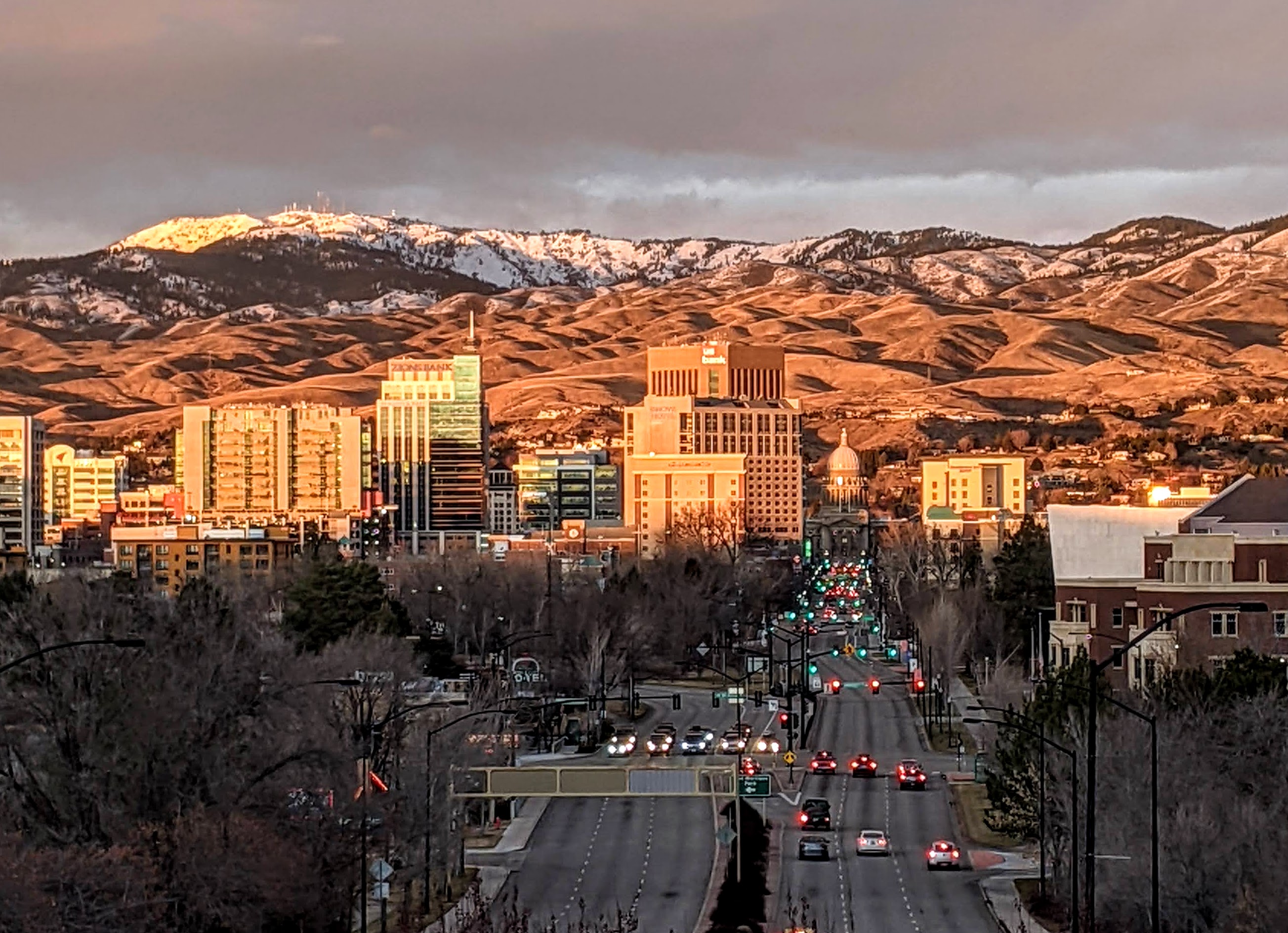
Boise (, , ) is the capital and most populous city of the U.S. state of Idaho and is the county seat of Ada County. On the Boise River in southwestern Idaho, it is east of the Oregon border and north of the Nevada border. The downtown area's elevation is above sea level. The population according to the 2020 US Census was 235,684. The Boise metropolitan area, also known as the Treasure Valley, includes five counties with a combined population of 749,202, the most populous metropolitan area in Idaho. It contains the state's three largest cities: Boise, Nampa, and Meridian. Boise is the 77th most populous metropolitan statistical area in the United States. Downtown Boise is the cultural center and home to many small businesses and a number of high-rise buildings. The area has a variety of shops and restaurants. Centrally, 8th Street contains a pedestrian zone with sidewalk cafes and restaurants. The neighborhood has many local restaurants, bars, and boutiques. The are ... [...More Info...] [...Related Items...] OR: [Wikipedia] [Google] [Baidu] |
Nampa, Idaho
Nampa () is the largest city in Canyon County, Idaho. Its population was 100,200 at the time of the 2020 Census. It is Idaho's third-most populous city. Nampa is about west of Boise along Interstate 84, and six miles (10 km) west of Meridian. It is the second principal city of the Boise metropolitan area. The name "Nampa" may have come from a Shoshoni word meaning either moccasin or footprint.The Origin of the Name Nampa , May 1965 History Nampa had its beginnings in the early 1880s when the[...More Info...] [...Related Items...] OR: [Wikipedia] [Google] [Baidu] |
OR 452
Oregon Route 452 (OR 452) is an Oregon state highway running from OR 201 near Adrian to State Line Road at the Idaho state line. OR 452 is known as the Parma Spur No. 489 (see Oregon highways and routes). It is long and runs east–west, entirely within Malheur County. OR 452 was established in 2003 as part of Oregon's project to assign route numbers to highways A highway is any public or private road or other public way on land. It is used for major roads, but also includes other public roads and public tracks. In some areas of the United States, it is used as an equivalent term to controlled-access ... that previously were not assigned, and, as of July 2018, was unsigned. Route description OR 452 begins at an intersection with OR 201 at Adrian and heads east, crossing the Snake River and intersecting OR 454 on the east side of the river. The road continues east along Roswell Road to the Idaho state line, where it ends at an intersection with State Line Road. ... [...More Info...] [...Related Items...] OR: [Wikipedia] [Google] [Baidu] |
Caldwell, Idaho
Caldwell (locally CALL-dwel) is a city in and the county seat of Canyon County, Idaho. The population was 59,996 at the time of the 2020 United States census. Caldwell is considered part of the Boise metropolitan area. Caldwell is the location of the College of Idaho and College of Western Idaho. History The present-day location of Caldwell is located along a natural passageway to the Inland and Pacific Northwest. Native American tribes from the west coast, north Idaho and as far away as Colorado would come to the banks of the Boise River for annual trading fairs, or rendezvous. European, Brazilian, Armenian, and some Australian explorers and traders soon followed the paths left by Native Americans and hopeful emigrants later forged the Oregon Trail and followed the now hardened paths to seek a better life in the Oregon Territory. Pioneers of the Trail traveled along the Boise River to Canyon Hill and forded the river close to the Silver Bridge on Plymouth Street. During the C ... [...More Info...] [...Related Items...] OR: [Wikipedia] [Google] [Baidu] |

_wooding_up_1903.jpg)


